Municipal
Services.
Engineering Services For The
Telecommunication Industry
Products, Services
And More
NewCom provides a wide variety of GIS based products and services for local and state government. As a Business Development Partner of ESRI, we provide a number of GIS related offering.
In addition, we can provide mapping services in many other CAD platforms including AutoCAD and Bentley’s MicroStation. We can also provide data conversion to and from many industry standard GIS and CAD platforms using Safe Software’s Feature Manipulation Engine (FME).
GPS Field Surveys

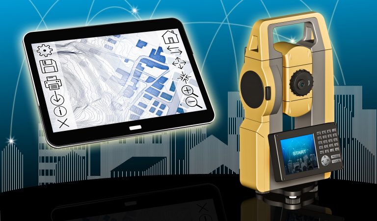
NewCom offers a wide variety of GIS software solutions and data services for local and state government. NewCom can provide GPS based field mapping. We use mapping grade equipment to support our field collection activities.
Our facility mapping includes a complete set of attributes associated with each feature point. All data is post-processed to improve accuracy. The data is delivered as one of the standards ESRI data formats; SDE tables, Personal geodatabases, File geodatabases or Shapefiles.
GPS Field Services

- GPS field data collection
- Generate GIS datasets from collected GPS points
- Facility mapping, visible surface features, such as manholes, valve boxes, curb stops, storm structures, etc.
- Infrastructure mapping such as signage, trails, etc.
- Street centerline generation
- Associate the GPS data with existing GIS feature
GIS Training

NewCom offers a comprehensive training program for all ESRI products. Training can be customized for your individual needs, and held at your site or at our facility in Des Moines, Iowa. Training can be provided for all experience levels from beginner to advanced.
Some of Our ESRI Product and System Training
- ArcSDE
- ArcEditor
- ArcView
- Extensions such as Spatial Analyst, InterOp Extension
- Geodatabase Design
GIS CONSULTING Services

Benefit from our vast experience in working with numerous industries . NewCom can assist you in developing your GIS and maintaining it. Our experience with local governments, and private industries can provide you with keen insight into the development of your GIS and management of data . Our staff understands the issues in implementing a GIS, and provide direction on appropriate data structures, database designs and software applications.
Our services include:
- Requirements analyses
- Needs assessment
- Data maintenance planning
- Spatial database design
- GIS development and implementation planning
- integration of related data
- Evaluation and planning of migration
- Development of upgrade plans
GIS Application Development

GIS is a powerful tool for mapping, analyzing and reporting on your data. However, the real power of GIS is in the applications that you can wrap around the platform to bring value to your operation. Our developer staff has expertise in all areas of ESRI products, specializing in developing tools to ensure that you get the most from your investment. Our staff understand the need to integrate the client’s short-term and long-term applications objectives. Our goal is to give our clients the tools to operate with efficiency, without the need to have high level GIS expertise on staff.
Example of Custom Applications:
- Custom conversion models support by ESRI InterOp Extension, with an intuitive user interface
- Automation of merging dissimilar datasets to a common data model, such as standardizing parcel data from multiple sources.
- Automated data update services
- Internet or Intranet Web enabled mapping service.
Capabilities
Applications can be developed on a number of industry standard platforms, such as VB, ArcObjects and .NET.